Thanks to everyone who showed up to the recent KCDC drop-in session! Here’s a quick round-up of what we learned, what people shared, and some important insights:
________________________________________
![]() Big Turnout, Big Questions
Big Turnout, Big Questions
- The session was packed — a strong turnout of concerned residents looking for clarity.
- Residents took a number and a place in the queue for the full 2 hour session (plus a little longer).
![]() Helpful Staff, But Big Gaps Remain
Helpful Staff, But Big Gaps Remain
- Council staff were patient, engaged, and open to hearing community concerns.
- This is just the start of the process — nothing has been added to LIM reports (yet).
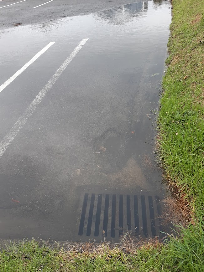
![]() Outdated Data, Questionable Modelling
Outdated Data, Questionable Modelling
- The Awa report relies on data from 2017 — not current conditions.
- Models use Jacobs, RCP 8.5, and other outdated or extreme assumptions.
- Some results defy logic — water apparently “pooling” on hills!


![]() Your Input REALLY Matters
Your Input REALLY Matters
- You CAN challenge their assumptions. If you have more accurate info about your property, Council says they will consider site-specific changes.
- It’s vital to write to Council with evidence if the modelling misrepresents your situation.
![]() Over a Million Dollars on… This?
Over a Million Dollars on… This?
- It appears KCDC has spent over $1 million on reports (like Jacobs’) that many residents feel are deeply flawed.
![]() Understanding the Mapping Confusion
Understanding the Mapping Confusion
- Didn’t get a letter? You might still be affected — check the flood maps online.
- Got a letter but don’t see anything? You may need to zoom way in on the maps — even a tiny change can trigger a notification.
- Some letters were sent due to cross-lease properties, where another dwelling on the title showed flood risk.
![]() Tip: Get a Real Response
Tip: Get a Real Response
- Emails to the Council get forwarded to named staff members, so you can have a real back-and-forth — not just a generic reply.
________________________________________
![]() THE BOTTOM LINE:
THE BOTTOM LINE:
We’re at the beginning of a long process. Stay informed, check the maps, and make sure your voice is heard — especially if your property is being misrepresented.
The next drop-in sessions are:
TOMORROW, Tuesday 13th May, 4.30 – 6.30pm: St Peter’s Hall Paekakariki, then
Saturday 17th May, 10am-12 noon, Memorial Hall Supper Room, Otaki
Tuesday 20th May, 4.30-6.30pm – Te Raukura ki Kapiti, Raumati Road
Saturday 24TH May, 10am-12 noon, Waikanae Community Centre
Public engagement closes 8th June
More info on council website https://haveyoursay.kapiticoast.govt.nz/floodmaps

Leave a comment